Pages

Showing posts with label Mojave Road. Show all posts

Wednesday, October 14, 2020


Welcome to Goffs

According to Laura Hammonds, the executive director of the Mojave Desert Heritage and Cultural Association, (that is one long title, she has), nearly 3,000 people visit the center each year in Goffs.

Hmmm, what is Goffs? Anyone driving east or west along Highway 40 knows the turn off for Goffs Road. It’s that exit with a certain gas station, won’t say the name but it charges a wee bit higher price for gas than anywhere else. That’s okay – capitalism works and supply and demand is the root of capitalism. But here’s a thought – check your gas gauge before leaving Barstow or Needles. You may be able to afford your kids’ college if you do. Now, I’m a financial whiz.

Back to Goffs.

Goffs, like many of the small towns or villages along Route 66, has an interesting history. And like many, the towns or villages are now non-existent, or very small when it comes to the number of humans living there.

“I’d say, that there are probably ten fulltime residents and maybe twenty-five during peak times,” Laura stated.

Must be very quiet in the desert at night, miles away from the rumble of Highway 40 to the south. Really quiet.

“You can hear a bat flapping its wings while it flies over the Piute Mountains, it’s so quiet here.” That wasn’t really a quote from Laura. I made it up, as I sometimes do – but it must be pretty silent at night – except for one thing:

The railroad that is literally in the town itself. 

“The Burlington Northern Santa Fe Railroad Goffs crossing is here. The train crosses Route 66 right here at Goffs,” Laura told me. Yes, that’s a real statement, and not one I made up.


That wonderful creation, the railroad which brings us so many of the things we need to make life bearable, sweeps through Goffs at all hours of the day and night, tooting its horn. Things like medicine, food staples, stuff we buy that we don’t really need, and personal hygiene supplies like toilet paper – yes, toilet paper. 

No one will forget the year 2020 – when it wasn’t unusual to see people stop at traffic lights, roll down their windows and ask the driver in another vehicle – Pardon me, but do you    happen to have Charmin Ultra-Soft?

Goffs was originally named, Blake, in 1893 after Isaac Blake, who was the builder of the Nevada Southern Railway. That name was later changed to the California Eastern Railway and that was changed to something else even later on and that changed to something else still later. Seems, as with so many things in life, change is inevitable. And so it is with names of railroads. Today, it is the Santa Fe Railroad for short, and so far that name has stuck. But, who knows what tomorrow may bring? And a rose by any other name…

And the research is not conclusive as to where the name for Goffs name actually originated, but the railroad was using names in an alphabetical way for stops along the tracks. Let’s call this one Goffs? Have no idea why, but won’t it be fun a long time from now having people guessing its origin? There you go, future folks!

My lovely spouse, Laureen, likes to think that Goffs was named after the author Helen Lyndon Goff, who wrote the magical nanny story, Mary Poppins, under the pen name P. L. Tavers. And she says I have an imagination. But who knows?

The history of Goffs goes way back, to when this area saw the likes of Francisco Garces, the first non-native in 1776. The Spanish friar and explorer was looking for an easy passage east and west through the Mojave Desert and spent considerable time not far from present day Goffs. 

In fact, Garces desert route is what we know today as the Mojave Road – that stretch of isolation on which off-roaders love to spend time. I drove that stretch a few years back, in the summer, of course, with only one vehicle, of course – and lived to tell about it. Thanks Friar Garces – in my heart, he’s a saint for watching over not the brightest of desert travelers.

Then the adventurer, Jedediah Smith came through the area twice, once in 1826 and again in 1827, also looking for a route through the oftentimes difficult desert terrain. On one of those adventures, it is believed that Smith was running for his life from the direction of the Colorado River, chased by a group of angry natives. I wasn’t there, but it is a good story all the same. 

Goffs played an important role delivering water for the steam engines on the main line to Barstow. Situated only thirty miles from Needles made this location – at the top of the hill – to be the ideal watering stop for trains. By 1911, there were enough Santa Fe workers and their families to warrant the building of a school house, which was built in 1914.

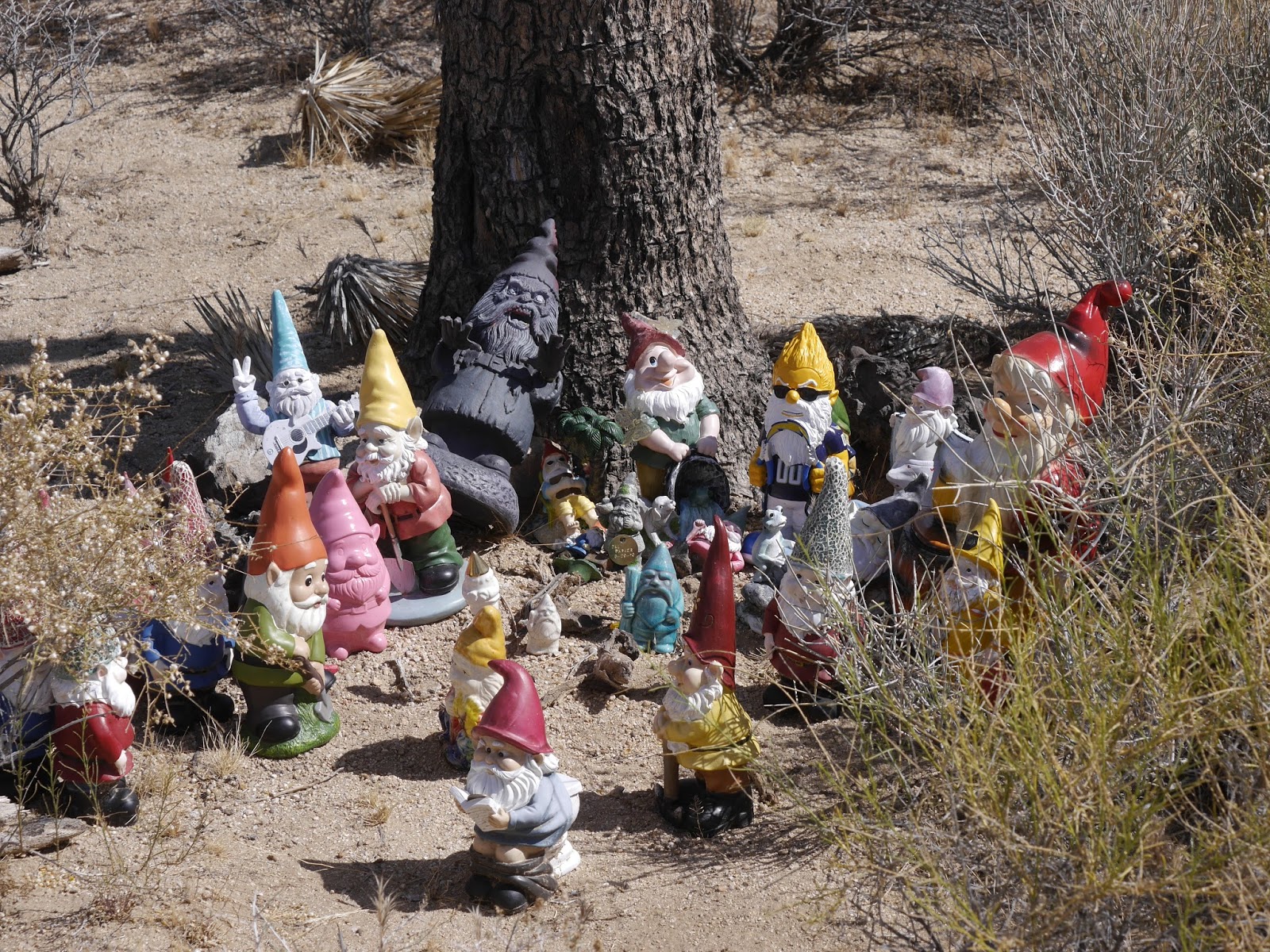
The school house still stands, and can be visited on the museum grounds, run by the MDHCA – Mojave Desert Heritage and Cultural Association. Along with the school house, there are many exhibits detailing the history of this once thriving town on Route 66.

                                           Goffs school house - no longer used as a school

Like any town along the route, simple paths became wagon trails, then railroad lines and eventually the dirt paths along those railroad lines were paved. And, there you have a road for that contraption called a car.

The United States Army built a training center in the area during WWII called Camp Goffs. It served its purpose until 1944.

According to Laura, “Because of the availability of water and good rail service an entire division was here at Goffs at one time. People can still find military artifacts throughout the Goffs area.”

                                                          Camp Goffs in the 1940's

We all love finding trinkets on our adventures, but if you come across a rusty pointed munitions thingy – please leave it alone. A military button, belt buckle or an abandoned tank, okay – a bomb, not so much.

“Everything that happened in the West, happened here. Mining, homesteading, cattle ranching, railroad, and Route 66. It all happened in Lanfair Valley,” stated Laura.

Yes, Goffs is located in Lanfair Valley. According to Wikipedia, Lanfair Valley is drained southeastwards, then due south by the Sacramento Wash, which then turns due-east and combines with the Piute Wash drainage. The dual valley drainage is a U-shape, and the first major dry wash drainage from the west, into the Colorado River, south of Lake Mead.

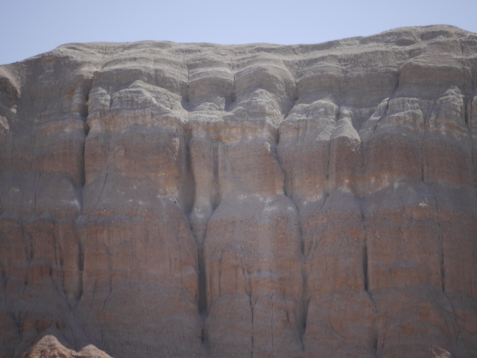
I have no idea what that means exactly, but the area sure is pretty.

Goffs’ largest building, the general store, is abandoned but still standing – unfortunately it has been vandalized and graffitified – I made that word up, but looks like it should be entered into Merriam Webster’s book. 

                                            The once thriving community market in Goffs

Goffs is definitely worth a visit. The museum opens in October, which is a wonderful time of year to visit anything in the desert. When did we visit? The summer – who’d think that? 

Story first appeared in the Daily Press under - Beyer's Byways


Monday, July 25, 2016

Day Four - Mojave Road Saga (Ends)

The Fourth day on the Mohave Road started with little sleep.

 A million mosquitoes from the Mojave River just to the southeast of the Afton Canyon campground kept the arms sweeping the air all night. That is not a way to sleep. Even a zippered tent didn’t alleviate the need of the flaying of the appendages. Each time one of the two boys went out of the tent seemed like a siege was going on with the annoying little flying beasts.

I just need the restroom 
Zip the door open and dozens of mosquitoes flew into the tent. OFF – GET OUT – and – WHAT THE HELL! was sprayed in the air and every crevice of the body but to no avail. 

Three in the morning found John rinsing his mouth with bits of chewed mosquitoes flowing out.

No photos here - obviously!

Gross – yes – it’s an adventure right? No, it was just disgusting.

The sun rose and so did two very tired guys. A quick breakfast while being chased around by two of the largest wasps known to mankind made the early morning that much less cheerful.

On the road – thankfully.

Road looking good from the passenger's side view 
The day’s driving was rather uneventful until the end while trying to locate the location of Camp Cady. It sounded like a great way to end the trip - a fort established in 1860 by the 1st U.S. Dragoons near the Mojave River. 

Through the years it was manned by soldiers, abandoned, manned by soldiers and then abandoned completely in 1871. We needed to find the spot where this mainstay of the Mojave Road had been crucial to soldiers and pioneers as well.

But there was a problem.Trying to figure out how to get out of the Mojave River and locate the Manix Wash and up onto firm land. Easy - just follow the deep sand, hang a right on the wash and it's done. Oops, the river bed ended suddenly into tightly knit channels which offered no way out of the river bed. 

Four days and this is was how it was to end? Back track - not even in the equation.

One more try up a dry wash west and suddenly there was a dirt track jumping out at us. It was the Manix Wash. We smiled.

Okay - where was this marker? Taken from the internet.
Two hours later the old site of Fort Cady could not be found. It's like Fort Mojave - is it there or there? 

Who knows but sometimes being near is as good as being there.

Tired, dirty and ready for some sleep, a good meal and just all around relaxing the boys decided to spend the last night at a KOA in Yermo. Pool, showers, snack shop and shade. What else did they need?

A good cigar - a cold beverage and the trip was over. Wonderful experience but an eye opener when traveling in the desert of the southwest.


Pool, showers, and shade - it was Heaven after 4 days of none of the mentioned.
What did we learn? Isn’t that research demands? And the exploration after that research needs to answer those demands if at all possible?


The following is in bullet points – easier that way.

·       *  Realize that sites aren’t always to be found – the general area is good enough many times. It’s the adventure that counts.

·      *  Bring plenty of supplies when traveling in the remote wilderness – overkill is not a thing to be ashamed of.

·       * Be prepared for an event which can turn lethal – sort of like the above point.

·       * Don’t travel alone on the Mojave Road – Casebier says that is not a good idea in his guidebook. It’s not.

·       * Carry good maps and a GPS.

·       * Don’t drive like a ‘Ricky Racer’ – the road or path dictates the speed not the mind.

·      *  Slow down and enjoy the scenery – there is so much to see and witness.
·       At night look up into sky – there’s a lot of stars up there.

·       * The deserts of Southern California are gorgeous and full of life.

·       Just remember – time on this planet is short so get out there and explore it.

A final side note – the day the trip was over the FJ’s starter went out. The vehicle would not start, granted a deep part of the Mojave River was crossed in Afton Canyon and may have led to the malfunction with water rushing through the engine compartment, but the point is if that starter had gone out two days earlier it may have proven fatal. Hot desert days, limited cell service, no full service auto shop, closet town dozens of miles away, and no vehicles seen in four days while on the road point to the direction of a dire circumstance.

You don't want this to happen out by yourself on the Mojave Road!
Enjoy, but do be careful.

Monday, July 11, 2016

Mojave Road Saga - Day 3

One rule J and L stick to, most times, is never to have a cold adult beverage until the day is done. Sitting around discussing the day’s adventure is time to celebrate.

It was no different on the third day upon the Mojave Road, so when Paul and John started seeing gnomes, frogs, toy jeeps, and a plethora of eclectic plastic entities, a question arose: did the boys break with the almost constant golden rule?

They had NOT but the images below will surely make the reader understand why they questioned themselves.

Gnomes going on a trip to the Mojave Road

There's even solar powered 'Ribbet' sounds from some


Even bobble-headed sports figures

The White Rabbit - it explains it all


It seems the game of placing such items near a heavy steel Mojave Road Mailbox at mile 74 has become a fad – a rather large one. It began in 1983 being erected by the Friends of the Mojave Road so visitors could sign a guest book telling others about their trip.


Paul guarding the Mojave Road Mailbox


Proof the boys were there
Fascinating - albeit a bit creepy!

On the road again, as the duo took to the Cimacito summit at 4556 feet above sea level where the view of the desert valley was awesome. Mile upon mile of empty vastness reminded the travelers again of the excitement and danger such a remote road the Mojave is.

Three days and no other vehicle had been seen. Weird and spooky.

Coming across Willow Wash the guide book warned of soft sand at Mile 81.8 and it was more than correct. A steady hand on the wheel, steady touch of foot to pedal, and steadier eyes were needed to navigate the long stretch of sand.

Having driven through deep sand before was no problem, but the length of the wash rather took the fun out of the nearly 6 1/2 miles we had to maneuver. Of course, this was child’s play considering what we came across on a few hours later which was nothing but a white-knuckler. 

The day sped on and so did the miles. Around one in the afternoon the boys decided it was time for lunch. Taking out the ‘easy-up’ and erecting it on Soda Lake at a temperature a little over one hundred degrees seemed the best spot.

Perfect place to relax in triple digits
No wind and the sun baking down on top of the nylon man-made shade made for a wonderful lunch location. Hard boiled eggs, tuna on crackers, water, and a western view of the ancient dry lake bed was all that was needed.

Though – it was hot and getting hotter. Off to Afton Canyon to find a spot to camp.

The Travelers Monument - a collection of rocks in a heap with an American flag was the place was the place to stop. Photos were taken and then back on the road. Not really much to see actually and it was getting hotter by the hour.

Very Patriotic and well worth the stop.
After leaving the monument is when things got a little nerve whacking. 

Railroad bridge just east of the entry to Afton Canyon
Easy sand compared to earlier in the day
At mile 106.8, Casebier states in his book that there is a steep hill at Shaw Pass which then leads into a wash. This may have well said quicksand. 

The sand for the next 10 miles was brutal. Unbelievably soft from the daily barrage of desert winds bringing soft particles to lay upon one another. The wash was not a road - not in anyone's mind. 

No photos were taken since Paul was navigating by searching for the cairns to ensure the FJ stayed it's true course and John was gripping the wheel with all his might. 

The travel was fast but progress was slow. Each bend in the wash brought new challenges - deeper sand and wondering when the next cairn would turn up. 

At one point the boys lost sight of all markers and nearly made a fatal error (remember one vehicle, triple digit temperatures and sketchy cell phone service). Going north along the deep sand John was about to continue in the direction until Paul yelled "left - go left" and there on the edge of an island of river rushes was a cairn. The FJ careened on it's wheels, the steering wheel was yanked left and the tires shuddered to a near stop. But the 200 plus horsepower kept the momentum going. It was actually pretty close to being sunk.
Imaginations can soar like the cliffs here


What happens if a car gets stuck in the sand? With no back-up available a decision has to be made. Walk out of the desert to the nearest settlement over twenty miles away or wait it out - luckily the FJ performed as it always does. It didn't get stuck and we continued to the mouth of Afton Canyon.


Are those parapets with Knights with bows behind them?

A peaceful and gorgeous canyon of high cliffs and wondrous colors.
It had been exhilarating, exhausting, and educational.


The first night in awhile to sleep in a fixed campground. It was a sight for tired eyes - but again - no one else around.


View from Afton Canyon campsite
Now it was time for a cold adult beverage, a cigar and hopefully a good night’s sleep.

The cold drink and cigar proved possible but tons of mosquitoes and a very hot night inside a tent did not allow a good night’s sleep.

Oh well – that’s how many adventures go and to the explorer just another day on the job.

Monday, June 27, 2016

Mojave Road Saga - Day Two


As an explorer, the value of research can not be understated. One week prior to the trip J decided to one last 'Google' search.


Always update research - it's a must!
Call it an insurance policy.

Many thanks to the Mojave Desert Heritage and Cultural Association who put out the information concerning the closure of the road at mile 27. This is where the boys camped the first night. The closure, as mentioned in the last blog, was all of 3 1/2 miles but the National Park Service had a 29 mile alternate route. Yikes! Luckily the MDHCA had a simpler 14.2 mile detour which allowed saving of time and viewing some pretty cool stuff.


14.2 vs 29 - a no brainer!
When driving across the desert, probably any desert, distance is measured in miles for convenience and location but it is really distance in time. Two or three miles on the Mojave Road may take a whole lot more time than it would seem to. Ruts, sand, washes, boulder enriched hills, and such have to be navigated slowly and carefully. This is not a place to Ricky Race your four wheel vehicle or a break down may occur. And trust us - the Mojave Road with its remoteness is not somewhere to break down in the summer or any time of year. Especially when only one vehicle is doing the trip - common sense is the master on this road.


Have your GPS and Guide Book handy - no wrong turns wanted


After breaking camp Paul lit up the GPS, unfolded the map and directions supplied online by the MDHCA as the road beckoned.


Another item to remember when traveling the desert is how wonderfully beautiful it is with plant life. It is a green sea that spread ahead of us while driving the road - no miles of just dirt but an area full of life.


Paul recording the beauty of the Mojave Desert


Cholla Cactus


One type of Barrel Cactus


Close up of blooms


Forest of Joshua Trees
The beauty of the desert is mind-boggling. Where it appears no life could exist, life does in abundance. The Mojave is not a wasteland between the 15 and the 40 but a huge megalopolis of every sort of natural wonder one could imagine.

Not to jump ahead but on the last night of the adventure Paul and John cooled off in Yermo laying about the pool at the KOA campground. A great way to end the trip - flushing toilets, showers, cold drinks, and other humans to talk to. The boys met a great traveling couple from Ohio - Lori and Joe Villanyi, who shared two photos they themselves shot of Bighorn Sheep - a rare find near Zzyzx Road.


Run for it boys and girls

To actually get a photograph of these elusive and gorgeous animals may be a once in a lifetime shot. Well Joe and Lori got their chance and a nice job they did!

Oh, wait - time to get a drink of water and then run away
Now, back to day two - everything worked out as the FJ cruised the desert and we marveled at what was in front of us.

At mile 8.3 of the detour, the Leiser Ray mine came into view just to the south. A once thriving mining consortium which pulled untold wealth from the grounds had now been long deserted but deserved a once over. The size of the mine was rather amazing considering its remoteness. No large graded roads leading in or out of the mine but just the desert trail we were following. The nearest town was Goffs, 8.6 miles southwest over sand, rocks, narrow paths, and just rough going. A good hour or more of travel time.

Observing a place like the Leiser Ray mine gave one a pause to ponder how rugged the individuals must have been in their pursuit of wealth. Tough, resourceful, and dreamers.


Not much remains but what does is huge


Species of Ivy in an abandoned shaft

Using a knife to open - how old are these cans?

The day was wearing on and so was the heat. With open windows (no air since you don't want to over tax your vehicle in the heat) we traveled many miles but slowly. Everything moves slowly on the Mojave Road. One to view everything and secondly because that's how the road tells you to drive - real slow and careful.

 By early afternoon, Lanfair Valley came into view and so did the 'penny can'. In the early 1980's someone decided to hang a can from a Joshua Tree and everyone who drove by was supposed to drop a penny into it - sort of a good luck thought we suppose.

Well - good luck always seems like the right thing to wish for.


The navigator needs luck


So does the driver


With all the luck a couple of pennies could afford, the dynamic duo hit the trail once again. Hour after hour of increasing heat and nerve wracking road brought the pair to Rock Springs. Of course, not until Dennis Casebier's statement (or understatement) came to fruition - "It is quite a steep hill" - describing the entrance to Watson Wash - no photographs were taken at this time since it was not steep in the normal sense but more like a ride from Disneyland.
The left side of the road did not match the right side of the road in height giving the FJ a thrill - if vehicles can get thrills. The driver wasn't thrilled standing on the brakes while the FJ continued on a downward motion toward the wash.

It's referred to as a 'white knuckler' by gripping the steering wheel so tightly as to cut off all blood flow to the fingers. J isn't a rock crawler and the FJ isn't designed as one but after grunting and huffing - J and not the FJ the wash was reached on a smooth drive to Rock Spring.


Camp Rock Spring looking east
Rock Spring was a famous stop for travelers through the desert - be that Native Americans or Pioneers. Water flowed from natural springs to the point that swimming holes were made for the pioneer children to cool off during the summer months. In 1866 an Army post was established called Camp Rock Springs to keep peace with the natives and the newcomers - especially the mail delivery. But around 1868 the Camp was closed since the mail and people didn't use the road much any longer with the introduction of the railroad miles away made the road not so needed.


Easy loop around historic site with information
Rock Spring can actually be driven to by any sort of vehicle as a large graded road takes the traveler to Bert Smith's rock house just above the springs.

Bert Smith was a WWI veteran who suffered serious health issues by being exposed to poisonous gas while fighting in the trenches in France. Upon returning to the United States he was told that he had a short time to live. Well, Bert didn't believe that nonsense and moved to Rock Spring where he and his family built quite a nice abode above Watson Wash and lived until 1967. Way to go - Bert!


The beginnings of the Rock House by Bert Smith

Interior shot of the Rock House


 After visiting these sites it was time to move on but first there was one more stop before trying to find a place to bed down for the night.

We read about all the water in the desert and the greenery we had encountered during the day certainly proved it but where was the proof? We found it not far from Rock Spring - plenty and it was bubbling up from the earth with the assistance of a windmill water pump. There was and still is plenty of water to take care of the needs of the desert and those willing and strong enough to survive the harsh conditions. Cattle are still raised out in the area and water troughs can be found here and there - especially at the elevation of Rock Spring which is nearly 4700 above sea level.


Windmill water pump equals . . . 


Where's there wind there may be water and water plentiful near Rock Spring. And what does that mean for the desert? Hmmm... 
Water from the ground which equals  . . . 


Trees and life - like this majestic hawk
With dusk quickly coming, and after a day of exploration nearly done, it was time to find a place to camp for the evening. A nice place was found - soft sand, tall rock backgrounds to keep the wind at bay and actual fire pits. Again, this area can be reached by most high centered vehicles for a one night journey. Other than that a four wheel drive is a must - but that said, we made camp, talked about the days adventure, smoked a good cigar and enjoyed the desert night.

The Milky Way never looked as clear as it does when the nearest city lights are forty miles away or further. One of the benefits of traveling where most won't.


A perfect camp site


Let your imagination go and what do you see?


Thanks to Lori and Joe Villanyi for their photographs.

Please visit the Mojave Desert Heritage and Cultural Association for more information at -  www.mdhca.org